RSPH teaching geographic data skills to Central American ministries of health in El Salvador
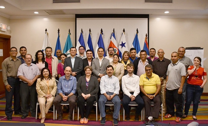
RSPH Center for Humanitarian Emergencies hosted a successful, week-long, training workshop in geographic data skills for mosquito surveillance in El Salvador.
This course was organized by the Center for Humanitarian Emergencies (CHE) team including principal investigator Dabney P. Evans PhD, MPH, Olivia Manders MA, MPH, Carrie Ripkey MPH, and Lara S. Martin MA, MPH. The course instructors were from the Liverpool School of Tropical Medicine (LSTM) and built on curriculum launched during the 2016-2017 Zika outbreak. Twenty five local staff participated from the ministries of health and associated organisations from eight Central American countries (Guatemala, El Salvador, Honduras, Nicaragua, Costa Rica, Panama, Belize and The Dominican Republic).
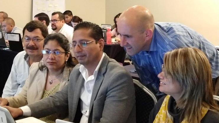
This course was a second level training of the GIVeS – Geographic Information for Vector Surveillance program. GIVeS seeks to improve capacity in Geographic Information Systems (GIS) for disease vector surveillance by developing and delivering accessible training courses targeting operational staff. GIVeS is a partnership between Emory University’s Center for Humanitarian Emergencies, LSTM, and the Integrated Vector Management Team of the Centers for Disease Control and Prevention (CDC). Locally this course was supported by SE-COMISCA (The Executive Secretariat of the Council of Health Ministries of Central America) currently based in El Salvador, which works on the identification and prioritization of regional health problems and solutions. It also came at an opportune time given ongoing Dengue epidemics in the region.
Under GIVeS, staff from more than 33 countries in the LAC region have been trained. The program has expanded to encompass countries across the West African region, including collaborations with local partners in Sierra Leone and Ghana, and with the PIIVec partnership to deliver geographic data training in Malawi. The El Salvador course was a second level offering that aimed to develop robust competencies in collecting, manipulating and presenting geographic data. Resources from first level courses are available on the GiVeS webpage and the second level resources will be added soon.
The lead instructor Andy South said, “For me, one of the great things about these courses are that we are teaching operational staff to use flexible, open-source tools that allow them to do more in their daily work. We have seen repeated examples where our teaching is put into practice to address local disease problems.”
Quotes from participants:
“This has been a very useful course and I look forward to putting it into practice in my own country.”
“Thanks for great interactive course with high quality teaching … will be of great use in understanding where in country there are more issues but also for building the evidence base in a more scientific way.”
“This is a great group. We should stay in contact to share our experiences in mapping but also epidemiology and entomology.”
The team will conduct a second training in Trinidad in August and are looking for avenues to expand this work.